Paris and Beyond

Our Personal Tour de France & Other Exciting Adventures!

Archive for the month “April, 2021”

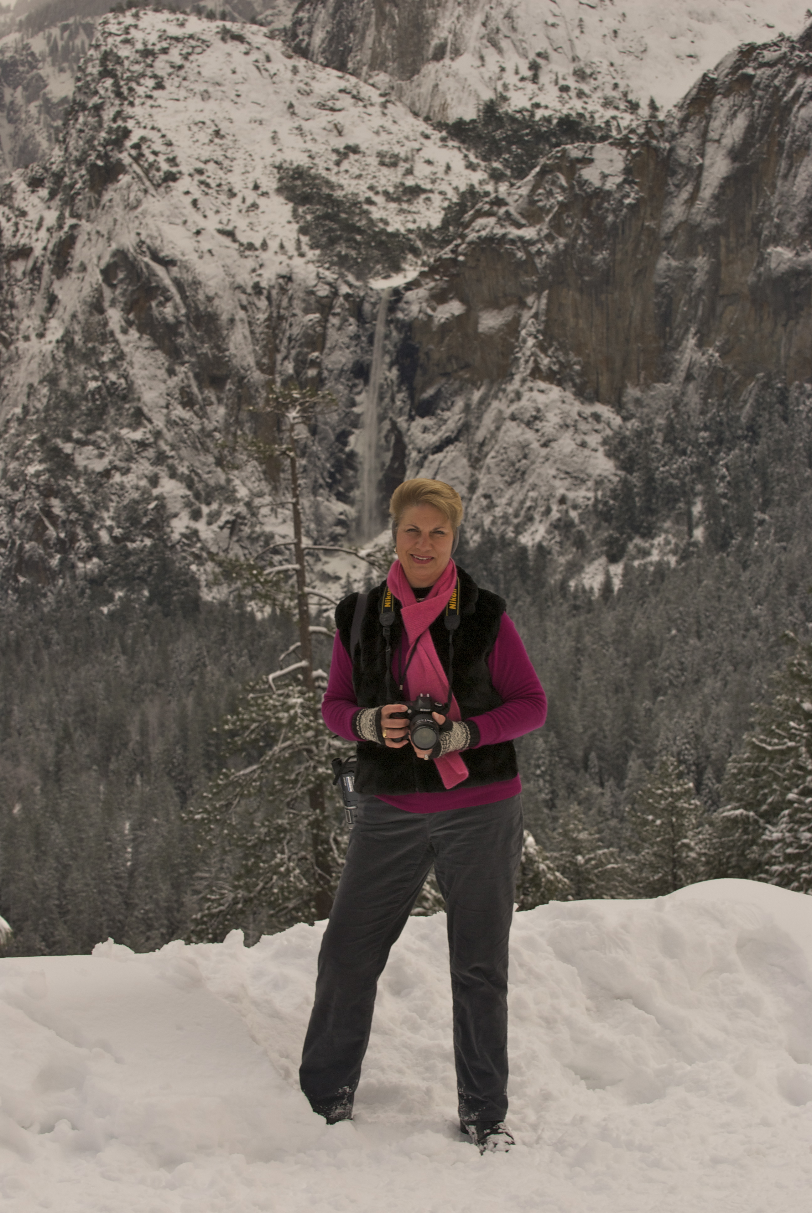
Just Can’t Get Enough

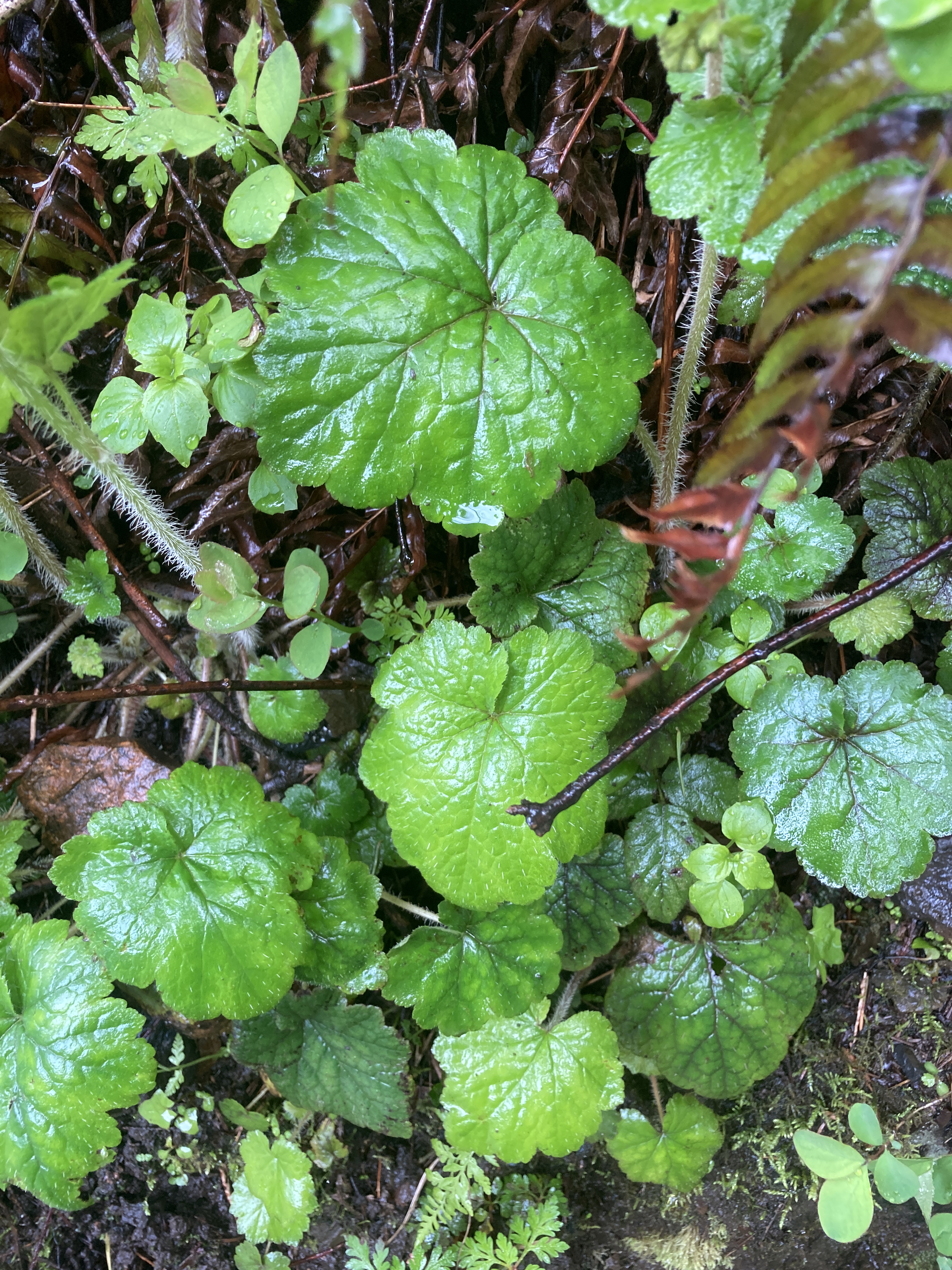
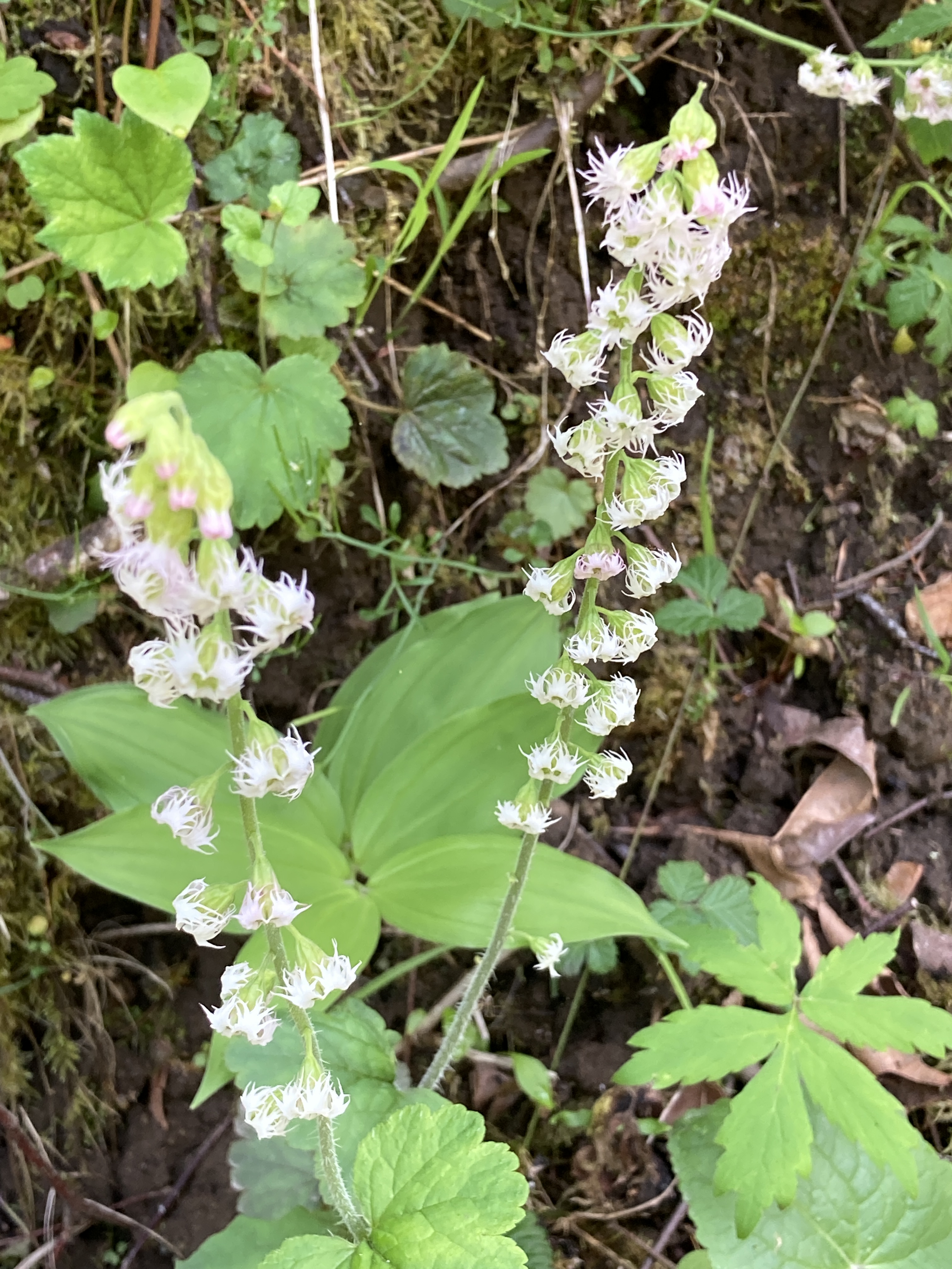
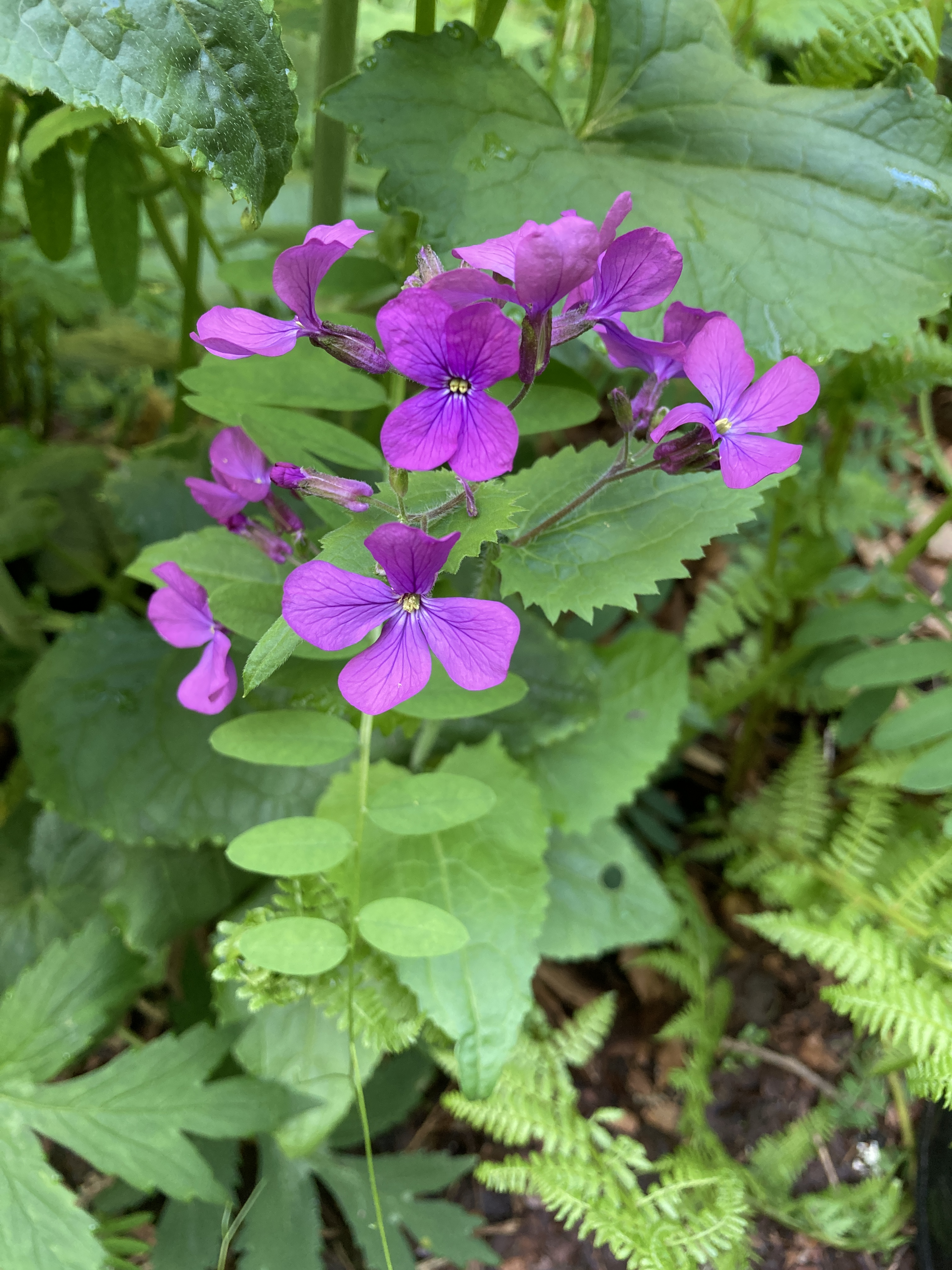
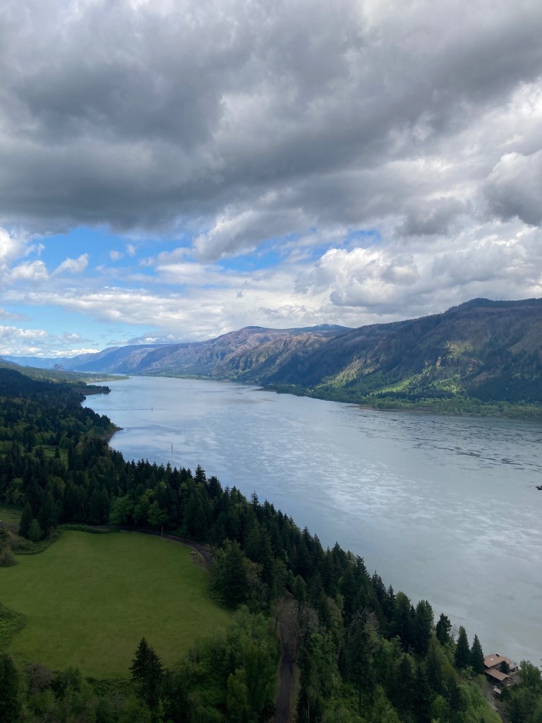
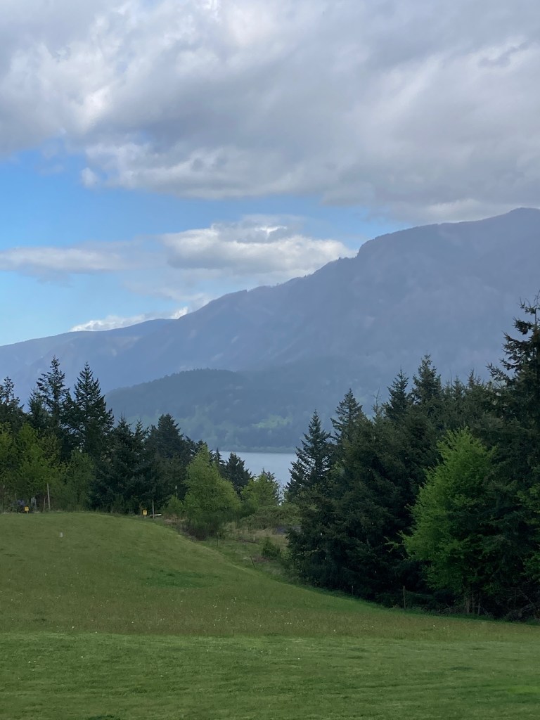
Geared up for another day in the Gorge, we headed off to Bridal Veil Falls State Park. This is my kind of park — nice parking lot, picnic tables and grassy area, plus “real” bathrooms! As most readers know, I’m not up for camping or roughing it in the outback, but I do love nature and am willing to enjoy it comfortably so this is a perfect place for me. There are two short trails available here. The first is a 2/3 mile interpretive loop that passes through wildflower meadows and camas fields with three vistas of the Columbia River. The second is a 1-mile round trip trail to the falls. We chose the latter and were immediately immersed in a lush green landscape full of moss-covered maples and Douglas Fir. One thing you learn in photography is to look not just in front of you but in every direction — to move your body as well as the camera. At every turn on this trail, there was some new angle to photograph.

In the 1880’s, large-scale commercial logging and lumbering at the western edge of the Gorge began at this location so there are remnants of the mill pond, log flume, and other structures. However, the myriad local flora have pretty much taken over the area. 

After following the steep but not difficult trail full of switchbacks, we came to a bridge passing over Bridal Veil Creek — our first stop for a few prize shots. 

Just beyond the bridge, Bridal Veil Falls came into full view. Though just 120 feet high, these falls are no less impressive than the others. They are the only falls where the basalt rock formations so prevalent throughout the Gorge aren’t visible underneath resulting in a solid flow of white water which makes them all the more enchanting.

You might wonder why we didn’t hike the second trail as well. Upon returning to the the main entrance, we considered it but decided against it for a couple of reasons. We were sure the vistas would be amazing, but we had already seen a few and that sort of thing is much better appreciated with the naked eye than through the lens of a camera. It’s very difficult to capture all the details your eye can see and photographs can be disappointing. Also, you have to keep in mind that we are each hiking with heavy packs of camera equipment and, well… we’re not so young anymore. There’s always next time.

At the entrance to the park, I discovered this quote on a sign and couldn’t agree more…

Water, in its many forms, provides some of the earth’s most beautiful landscapes. Rivers, lakes, and coasts all offer images of scenic beauty, but undoubtedly waterfalls are the most impressive.” ~ Gregory A. Plumb, A Waterfall Lover’s Guide to the Pacific Northwest, 1989

During the past four years, the Oregon side of the Columbia Gorge has been repeatedly devastated by natural disasters — first by the Eagle Creek Fire in 2017 which almost consumed the renown Multnomah Falls Lodge and more recently by this year’s severe winter storms causing flooding and active landslides which have closed many trails and obstructed the historic highway. We were fortunate to finally be able to enjoy at least some of its bountiful beauty… looking forward to many return visits.

Meanwhile, stay tuned for our Columbia Gorge Photo Gallery that will be posted once we’ve processed all the images we shot with our Nikon D810.

The Gorgeous Gorge

The Columbia River Gorge was carved out about 15,000 years ago during the last ice age when a glacier that held back an ancient lake melted and released its water into what is now Oregon and Washington. The pressure and high speed water flow from this event created the Gorge as we know it today. Over time, the geology of the area has produced an abundance of waterfalls and other scenic sites that are mainly situated along the Historic Columbia River Highway for about 15 miles. It is extremely popular with tourists, especially hikers who can enjoy an array of interconnecting trails and photographers like us. When possible, the old highway is the easiest way to visit the five main waterfalls out of some 77 falls that exist in the entire area. However, due to recent active landslides, about half of this route is closed. The much more modern Highway 84 runs parallel to the old highway and provides intermittent access to the various sites with exits that often exist on one side of the highway but not the other making it necessary to follow a somewhat convoluted course to get from “Point A to Point B” or rather, from waterfall to waterfall. You find yourself traveling west and then east to go just a few miles down the road. Nevertheless, it is totally worth the effort. First stop, the ‘big daddy” of them all.

Heralded as the most visited natural recreation site in the Pacific Northwest with over two million visitors each year, Multnomah Falls is constantly fed by underground springs, rainwater, and snowmelt creating a spectacular year-round attraction. We have been anxious to see it ever since we moved here so that’s where we began our exploration of the Gorge.

In order to get to Multnomah Falls from our cabin, we traveled back over the Columbia River this time crossing at the Bridge of the Gods. This is a toll bridge operated by the Cascade Locks and one of only three ways to cross the 75-mile Gorge. Fun Fact: In 2014, the bridge became ever more popular after the release of the film Wild, a biographical adventure drama about a young woman’s experience hiking the Pacific Crest Trail resulting in a toll increase to $2 each way. The Bridge of the Gods is the lowest point on this 2,653 mile trail that runs north-south from Canada to Mexico through Washington, Oregon, and California.

We arrived early at Multnomah Falls before the crowds and almost had the park to ourselves which is the key to success here. Reputedly the tallest waterfall in Oregon at 620 feet, the falls, named for the Multnomah tribe, did not disappoint. It’s a very short hike on a paved pathway to the base of the falls making it an experience everyone can enjoy. Farther up the trail at the division of the two-tiered falls, you reach Benson Bridge in honor of Simon Benson, lumber baron and benefactor who donated the land. At this point, the spray from the falls makes everything a bit slick and wet including the viewer, but we were prepared for that with rain jackets and camera covers. We had fun capturing some great images using our new CamRanger2 setup plus quite a few more both still and video using our phones. 

Multnomah Falls

Not satisfied experiencing just one waterfall, we decided to continue on to another… Latourell Falls, the second highest at 249 feet. We did, indeed, have to drive west then turn east to get to it. No loss since along the way there were some vista points to enjoy. The first was Chanticleer Point sponsored by the Portland Women’s Forum an organization active in preserving the beauty of the Gorge and providing for donation of the land. From there you can see the next landmark off in the distance — Vista House, originally constructed in 1918 as a rest stop and observatory of the Columbia River. It is essentially a small rotunda with an octagonal floor plan housing bathrooms and a gift shop and was considered by many at the time to be an over-priced outhouse. Unfortunately, due to COVID, it’s currently closed so we were unable to partake of the facilities. However, I loved seeing the Art Nouveau architectural style and, of course, the views.

Chanticleer Point with Vista House in the Distance (shown below)

Eventually arriving at Latourell Falls, we made another short hike to the pool at the base of the falls. Latourell is unique in that it drops straight down from an overhanging basalt cliff rather than tumbling over like most of the others. Accented by a wall of lichen, it’s just GORGEous!!

Latourell Falls

These huge waterfalls are really impressive, but it’s important not to miss the small things…

And this guy — hope he survived his slow trek across the trail!

We were slowing down ourselves so it was time to return to our cabin and prepare for Day 3. Homemade spaghetti and meatballs on the menu and more beautiful views of the Gorge from our deck made the end of a perfect day.

Heading Out…

This week we are visiting the Historic Columbia River Gorge National Scenic Area located about 30 minutes east of Portland, Oregon. The route follows the Columbia River which originates in the Canadian Rockies and eventually winds its way south creating a dramatic border between Washington and Oregon as it flows to the Pacific Ocean. This is an outdoor adventurer’s paradise and there’s something for every ability. On the Oregon side, you can access many amazing natural sites along Highway 84, formerly part of the Oregon Trail. Alternately, you can approach these sites and other famous landmarks from the Washington side of the river using State Route 14, the Lewis and Clark Memorial Highway. We chose to do both.

Traveling two hours north from home to Portland, we made the requisite breakfast stop for a taste of France at La Provence in the tony city of Lake Oswego. This was an event in and of itself — the first time we had been out for a restaurant meal in 16 months! What a treat it was!! Afterwards we picked up a delicious seeded loaf of bread and some U-Bake almond croissants from their bakery for our vacation pantry then headed northeast to our destination.

Continuing on our journey, we soon crossed over the mighty Columbia turning east into Washington. So much beautiful scenery once we hit the heart of Lewis & Clark territory! It was a joy just to be out and about after such a long time at home. We took in our first view of the Columbia Gorge at Cape Horn… breathtaking, of course!

Eventually, we arrived at Shellrock Cabin, our home for the next three days. This newly built cabin is one of two identical 400 sq. ft. vacation dwellings situated atop a hill above the small community of Stevenson, Washington.

Fronted by a huge rolling lawn leading your eye to the Columbia, the cabin is modern and tastefully decorated. Though small, it is perfectly designed and organized for a comfortable stay. The compact, efficient full kitchen totally worked for the preparation of our breakfasts, snacks, and evening meals which we prefer to constantly eating out — healthier, more relaxing, and certainly more economical. To top it all off, the cabin’s inviting covered deck boasts its own private view of the Gorge.

As the first afternoon progressed, ever-changing clouds provided visual entertainment and photographic inspiration for the evening which was capped off by a full moon.

After a bowl of my homemade French Cassoulet accompanied by a delicious glass or two of red wine, it was time to hit the hay and prepare for the adventures of Day 2.

Through the Lens

It was my dad who first introduced me to photography. During WWII, he served in the Air Force on a B-17. After one fateful mission which involved a battle with a German airplane, he ended up as a POW in Sweden for nine months. Even though the Swedes were “neutral”, they treated the American servicemen rather well. So he was given a bike and allowed to ride all over the country. It was then that he purchased his first 35mm camera and became quite adept at using it. From there his love of photography grew and it became one of his few hobbies. I clearly remember the years when I was very young and he would convert the master bath into a dark room from time to time. I had to be reminded to stay out, but I remained close by and I was his most popular photographic subject. In 1965, my parents and I lived in Albany, Oregon about an hour from our current home. For my 10th birthday, my dad proudly gave me my first camera. It might have been a Brownie, but I’m not really sure. This was the first picture I took with that camera. We were at Trout Lake — Dad no doubt indulging in his other hobby, fishing, and Mom going along reluctantly for the ride. 

Over the years, I owned a huge variety of point and shoot film cameras and have the photo albums to prove it. I had grown up accustomed to every important moment being photographically chronicled and so I continued life as an adult in the same manner. For all this, I learned very little about photography itself. There was almost always a 35mm camera available, but someone else was in charge of using it. Somehow it wasn’t considered my (or perhaps a woman’s) territory. 

While participating in my school district’s 21st century technology grant in 1998, I acquired my first digital camera. Thus began a huge surge in the use of technology both at work and at home including some steep and swift learning curves. Around 2003, during Norman’s tenure as a professor in the Fine Arts Department at College of the Desert, he developed and taught the first digital photography class there. By this time, we had purchased one of the original digital SLR cameras and it was finally time for me to step up my photographic knowledge and skill set. So I enthusiastically participated as one of his students. Norman is a fantastic instructor and even quite patient with his wife for whom this topic does not come as easily to her as others. We became a bit of a team and eventually established a small business, Pérez Productions, wherein I built websites and Norman edited the photos we took for them. In those days, this was new territory so it was rather a big deal. We really enjoyed it but, in the end, realized the demands of the photography business were not for us. 

Some of our favorite subjects back then were in and around the Coachella Valley…

Palm Springs Indian Canyons
Castle Rock ~ Joshua Tree National Park
Cholla (aka Teddy Bear) Cactus ~ Joshua Tree

And the Getty Center Museum in Los Angeles…

Reflections
Staircase

In 2005, we moved to the heart of the Silicon Valley where we lived for the next 12 years. It was an ideal location for capturing all manner of interesting landscapes. We spent a lot of time pursuing photography together providing some of our fondest memories. Two of our favorite spots for repeat visits were Lake Tahoe…

And Yosemite which we managed to shoot in all four of its glorious seasons…

El Capitán
Upper Yosemite Falls

The digital photography world has changed and evolved immensely in the past 20 years. We have gone through various camera kits and a myriad of accessories. In the transition to this “completely retired” stage of our lives during the past five years, we have been busy with many things which have taken time away from photography. We have mainly depended on our phone cameras to record our adventures and these days they do such an amazing job that it makes you a lazy photographer. However, there’s nothing like using the proper equipment and being totally in control of the outcome. So, now that we’re slowly coming through the pandemic to a point where we’ve been vaccinated and can at least travel by car, we are planning some road trips with photography in mind. One thing that has changed over time as much as the camera is our eyesight… especially for me. Setting up a shot using the viewfinder is a challenge when wearing progressive lens eyeglasses even with a large, live view display on the camera. There are a few ways to accommodate for this, but we are most excited about the latest addition to our kit — a CamRanger2 attachment which creates a wifi connection between the camera and an iPad. Finally I can actually see what I getting by shooting and viewing images directly from my iPad screen. We’re looking forward to putting it into practice out in the field this coming week. 

THE PHOTOGRAPHERS…

Norman on a stormy Lake Tahoe
Cheryl at Joshua Tree
Norman in Yosemite
Cheryl in Yosemite

Post Navigation