Our next destination was Forks — these days perhaps more famous for being the location of the Twilight saga novels than home to the Hoh Rain Forest, one of the largest temperate rainforests in the U.S. While we didn’t run into Bella or Edward or encounter any vampires or werewolves (thank goodness!), we did fall in love with some giants.
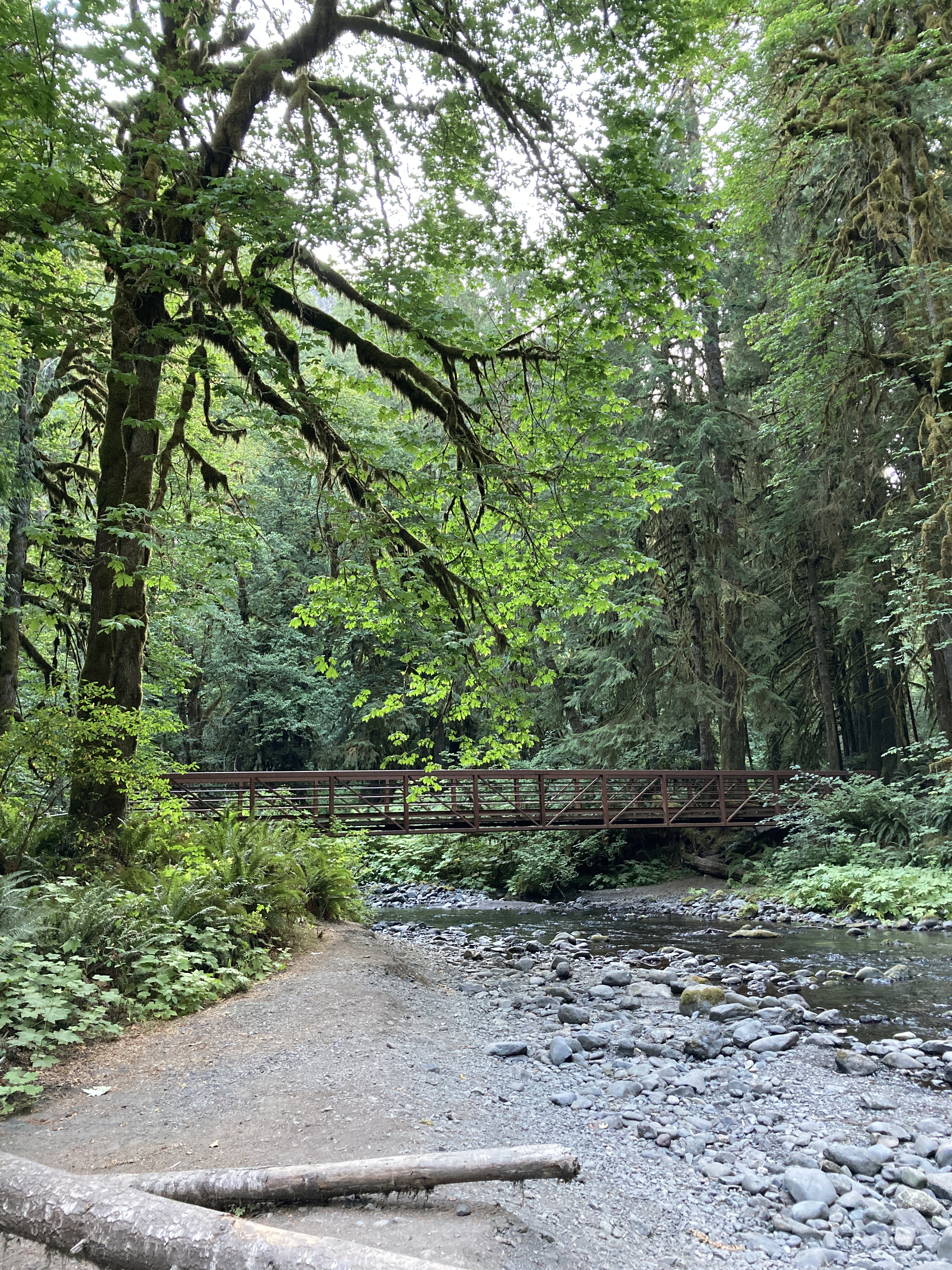
There are several trails leading out from the Hoh Visitor Center including the Hoh River Trail where you can hike for 18 miles to Blue Glacier on Mount Olympus that we first viewed at Hurricane Ridge. However, we chose something a wee bit shorter quickly immersing ourselves in the Hall of Mosses after crossing this lovely pond.
This leaning tree show a great example of epiphytes, plants growing on other plants, which are abundant throughout the area. They are not parasitic but derive moisture and nutrients from the air, rain, water, and debris that accumulates around them. Moss, lichen, algae, ferns, and bromeliads are a few epiphytes you might know.
Here you can see that the forest is literally dripping with epiphytes.
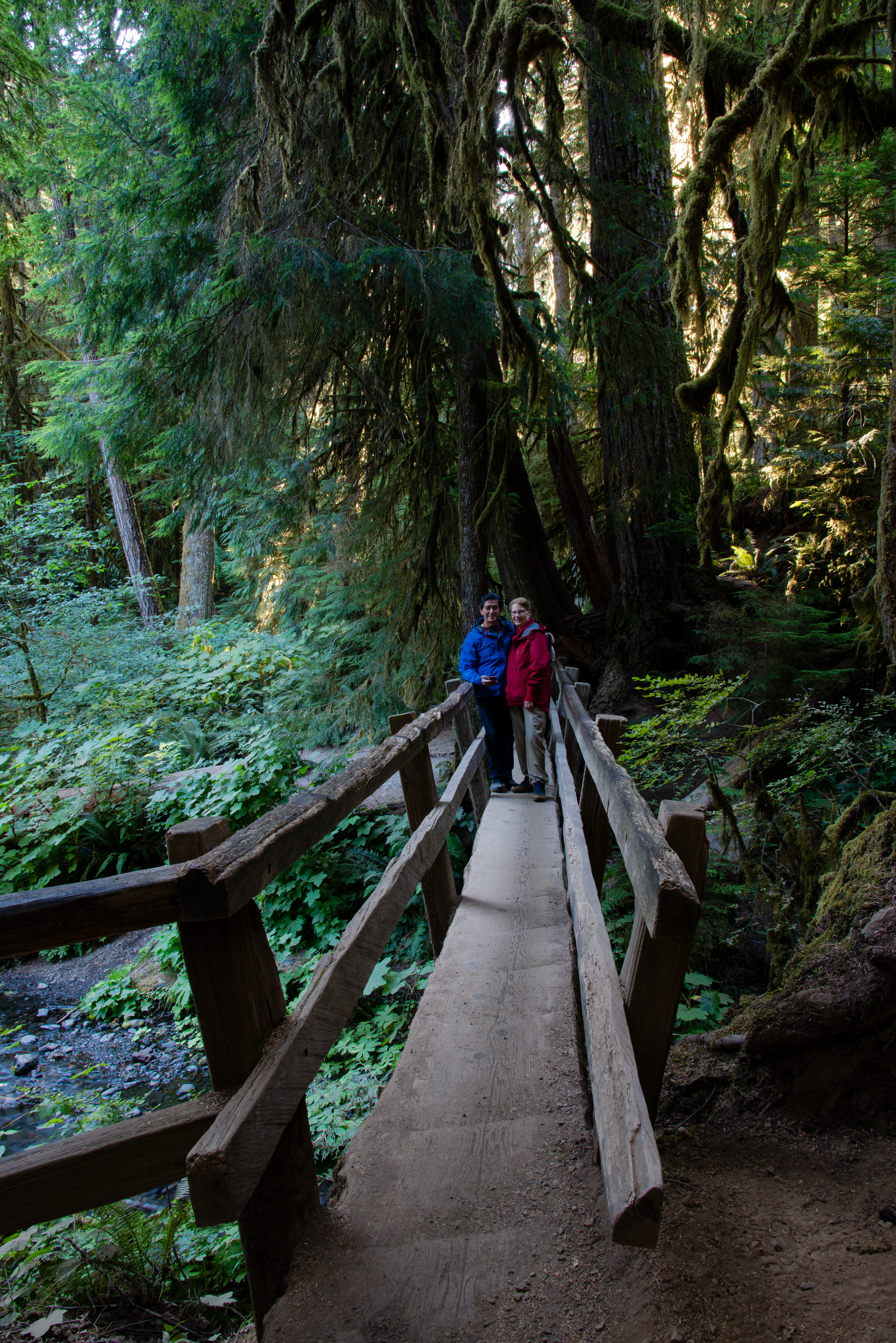
If it weren’t for the paved trails, it would be nearly impossible to walk through this forest dense with giant conifers plus big leaf and vine maples that play host to these epiphytes.
Dead and downed trees like this enormous one still contribute to the rainforest. As they decay, they serve as nurse logs supporting new life.
Grazing Roosevelt Elk are responsible for keeping the understory open. Of Olympic Park’s 3-4,000 elk, 400-500 live in the Hoh Valley. I was hoping to catch a glimpse of one but we were not that lucky. President Theodore Roosevelt, after whom the elk are named, designated the land a national monument in 1909 to protect the elk; it became a national park in 1938.
In the Twilight saga, Bella worked part-time at “Newton’s Olympic Outfitters”. While completely fictional, it definitely has its counterpart in real life right in the heart of Forks, aptly named “Forks Outfitters”. We discovered a plethora of real (vs. designer) outdoor clothing there and got Norman properly outfitted for some of our next adventures with his favorite style of thick long-sleeved t-shirts and best of all, rain pants. That was truly an Olympic bonus!
Sadly, our Olympic Discovery Tour was almost over, but fortunately, there were still a few key places to check out on the way home. See you at the coast in the next post! 😉
After a day in the mountains, it was time to head to the lake — Lake Crescent that is. Conveniently located about 30 minutes west of our Port Angeles abode in the opposite direction of Hurricane Ridge, lies this gorgeous “Tahoe-esque” lake. While it possesses nowhere near the depth and size of the famous Cal-Nev icon, Lake Crescent presents a similar aura with its clear, deep blue waters backed by a stunning set of glacially-formed peaks. At its deepest, it measures 624 feet (as opposed to Lake Tahoe’s 1645 in case you’re curious) and is officially the second deepest lake in Washington (after Lake Chelan). It contains very little nitrogen, thereby limiting the growth of small plants like algae that typically grow in lake waters which contributes to its clarity.
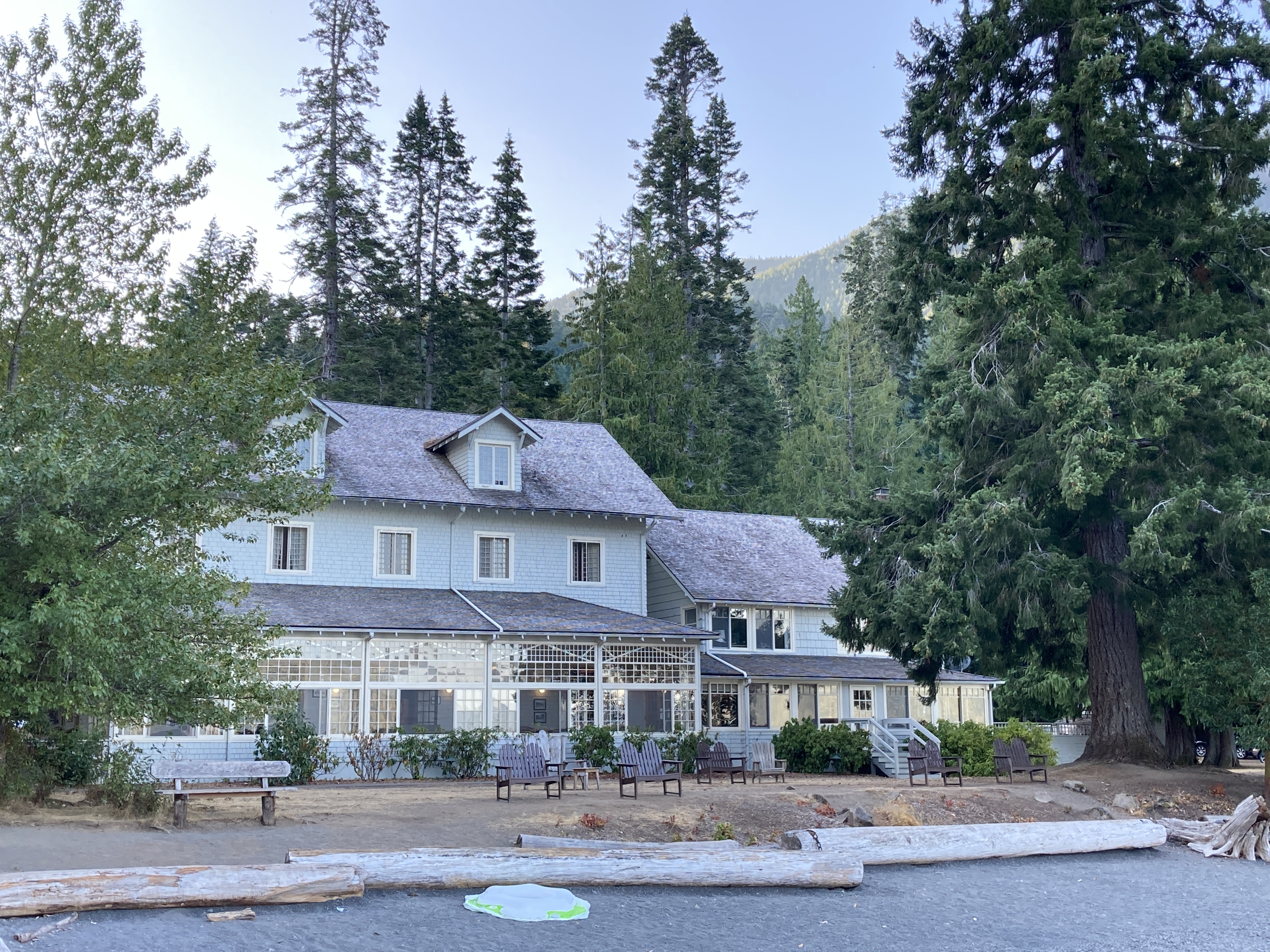
Upon our arrival at Lake Crescent Lodge, we were immediately drawn to the small pier extending out into the lake. While the Storm King Ranger Station is located nearby, it’s a basic affair and the lodge facilities provide a much more inviting atmosphere for exploration of this section of the ONP which is comprised largely of old growth forests. As you can see, we practically had the place all to ourselves.
As waterfalls are one of our favorite photographic subjects, we are always attracted to any hikes that will lead us to one. While we have seen some of the tallest and most spectacular falls, we still won’t pass up an opportunity to add another to our list of conquests. Just a short walk from the lodge we joined the Marymere Falls Trail meandering through a dense forest where you can easily imagine dinosaurs might have once lived. Everything is really old and BIG! It makes you realize what a small part of Earth’s historic record we are.
Barnes Creek runs parallel to the trail. Crossing a bridge or two and leaving the creek behind, we began a slight uphill climb toward the falls.
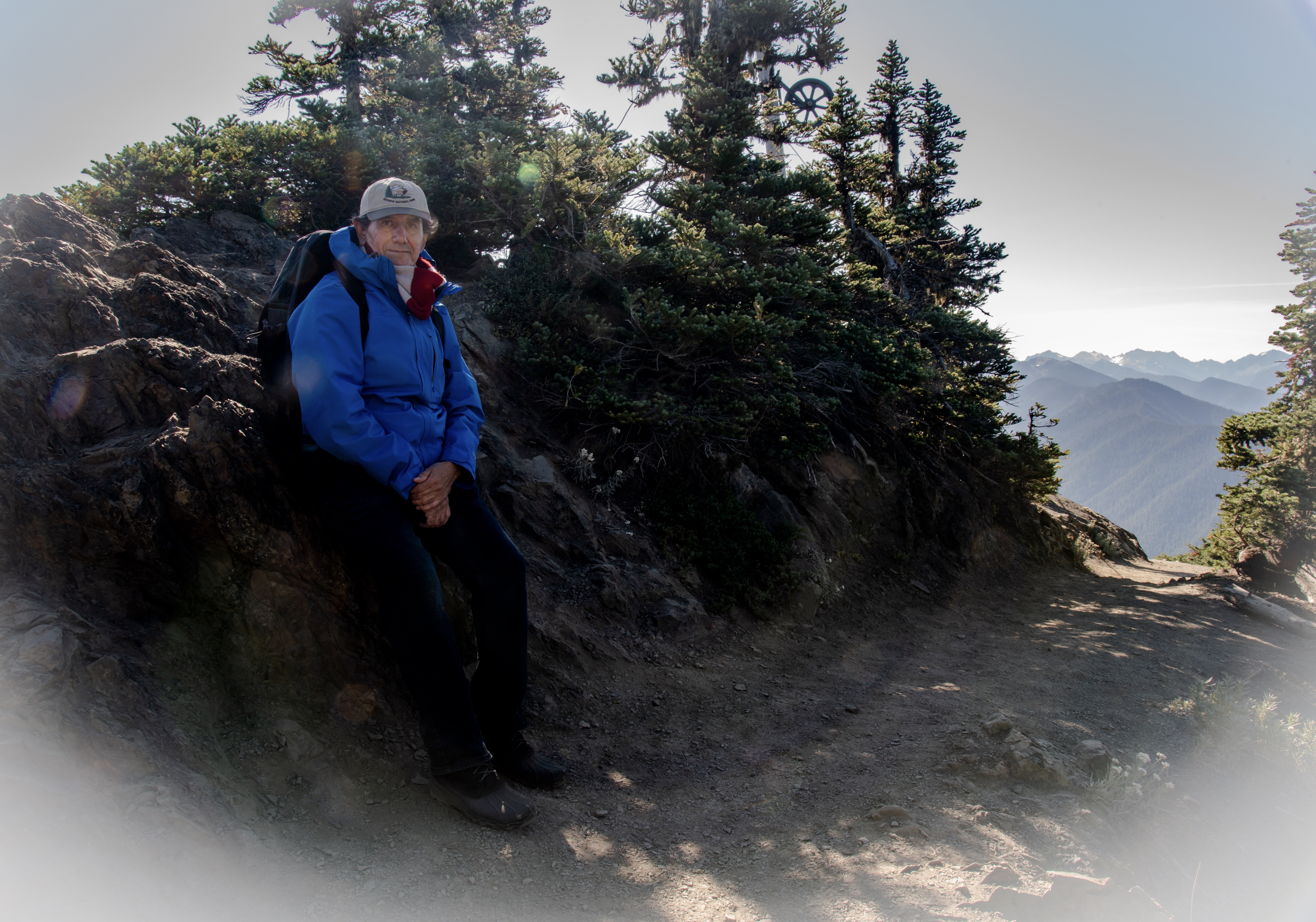
After working our way around a loop and climbing a few stairs, we arrived at a very convenient platform with a view of the lovely 90-foot Marymere Falls. This is considered an easy trail, but it takes a bit of effort with all our equipment. Norman always manages to put a smile on it!
It may look like I’m just checking my messages, but I’m actually controlling the camera with my phone. Attached to the top of the camera is a device called a CamRanger. When in use, it creates a wifi connection between the phone and the camera (referred to as wireless tethering) allowing you to access all the camera’s settings and frame your shot much more easily than if you were simply looking through the viewfinder. This is especially helpful when your eyesight is not what it used to be and you wear progressive lenses like I do. It also interacts with my iPad which makes an even better monitor for shooting.
And here are the results…
Upon our return, we were able to sneak in a very nice lunch at the lodge. Operating at only 25% seating capacity due to the pandemic, we were fortunate to get a table. We even bought souvenirs at the gift shop — something we rarely do… a true old-fashioned vacation experience at a very quaint lodge from another era.
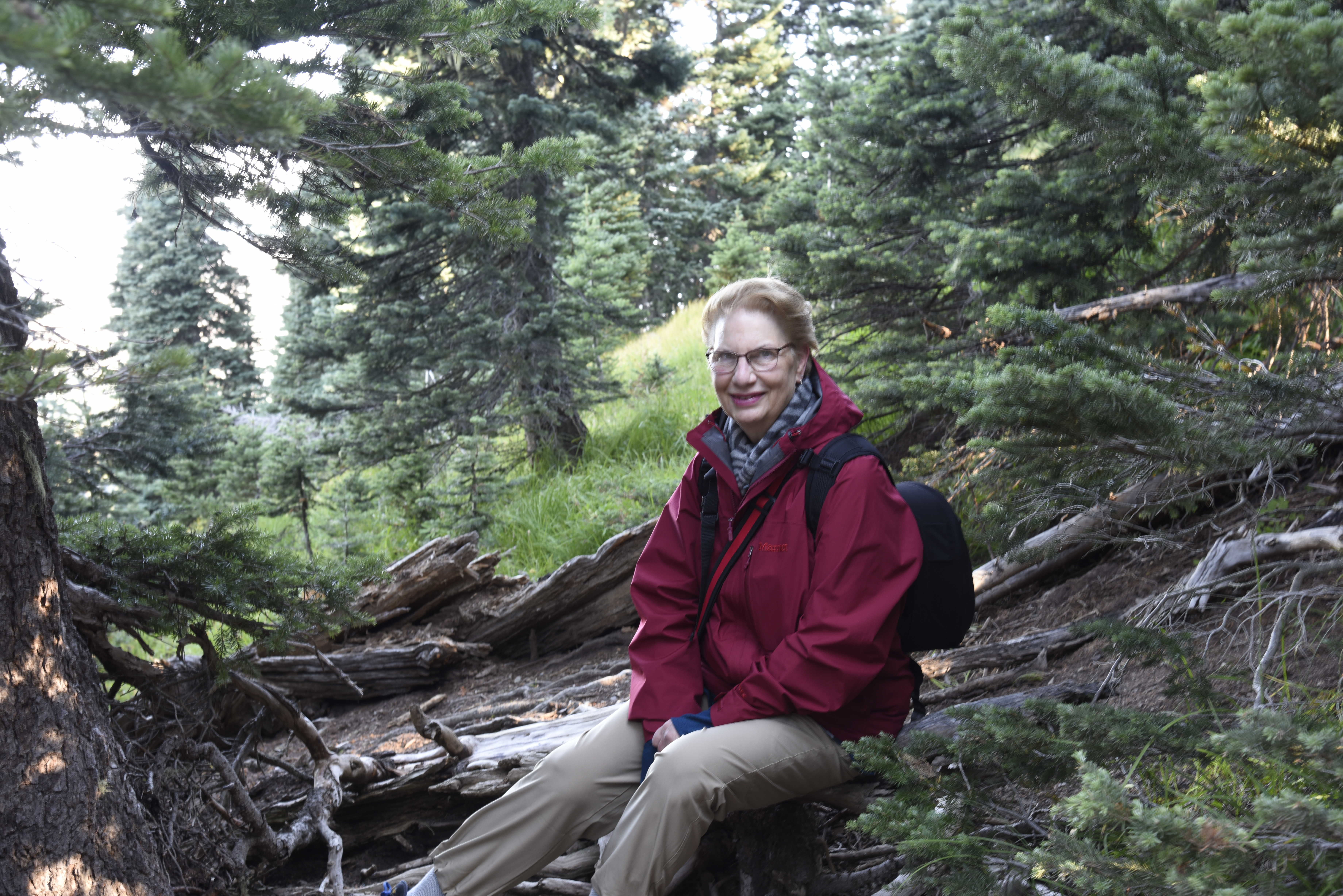
We enjoyed this location so much that we felt it merited a second visit. The following day was a transition to our next stop with some time to kill before we could check it. So I suggested heading back to Lake Crescent Lodge which just happened to be on the way. Norman decided he wanted to hike out and shoot again for awhile. I found a comfy corner with a gorgeous view of the lake where I spread out my things and spent some time reading and knitting while enjoying a local beer. One couldn’t ask for more!
And, if you haven’t seen enough of the falls… we never do — here’s a parting video for you. Enjoy!
Olympic National Park spreads across almost 1 million acres at the westernmost edge of the state of Washington, an area referred to as the Olympic Peninsula. It is unique in that it encompasses a vast range of ecosystems from glacier-capped mountains and old growth rainforests to 70 miles of coastline. Traveling north from Astoria, it felt as if we were going back in time and entering a completely separate region not at all connected to the Washington where we had once lived. There were tiny towns dotted all along the winding route — most providing just the basic services. It made us wonder how the residents manage to get all the things they need. Do they have to make long excursions for supplies? Or have they just figured out how to live without so much stuff?? I’m sure they grow and raise much of what they eat, but it seems even that would be limited in this area that receives much rain — an average of 56″ per year. We chose the right month to avoid those frequent downpours and were really able to appreciate nature’s beauty and diversity.
We began our visit to the ONP in Port Angeles where the main Olympic Park headquarters are located. We took advantage of a full array of resources there — maps, souvenirs, and information from the various park rangers who were very helpful and certainly enthusiastic about their park. There were also interesting exhibits regarding the park’s natural and cultural history. I had done much online research, but it was nice to actually inform ourselves in-person in real time. Due to the pandemic, many facilities throughout the park are either closed or minimally staffed and accessible so it’s important to get the latest information.
We settled in to a small house for our three-day stay in Port Angeles. We love to travel this way because we can make ourselves at home, truly relax, and prepare our own meals. Like many other small towns and out-of-the-way places, the pandemic has taken its toll on services and supplies in Port Angeles as well as other Olympic communities resulting in suspended ferries to Victoria, restaurants closed or forced to close early for lack of food and/or staff, and grocery shelves sparsely stocked. However, this was no problem for us with our self-catering accommodations and our provisions from home.
We launched our exploration into the park at Hurricane Ridge about 30 minutes outside of Port Angeles. Arriving around 7 AM, we avoided the crowds providing a serene and peaceful experience. Stepping out of the car, we were immediately hit with a frigid blast of wind causing us to wonder if we had dressed in enough layers. At an elevation of 5,246 feet, the ridge gets its name from the frequent hurricane-like winds that can blow up to 75 miles per hour. As much as 35 feet of snow falls here each year remnants of which can be seen even in the summer. Directly off the parking lot just beyond the visitor center, you can already take in beautiful views like the one below. These are the Olympic Mountains including the tallest, Mt. Olympus, rising to 7,980 feet. Also visible is Blue Glacier which, like so many others, is rapidly retreating with the effects of climate change.
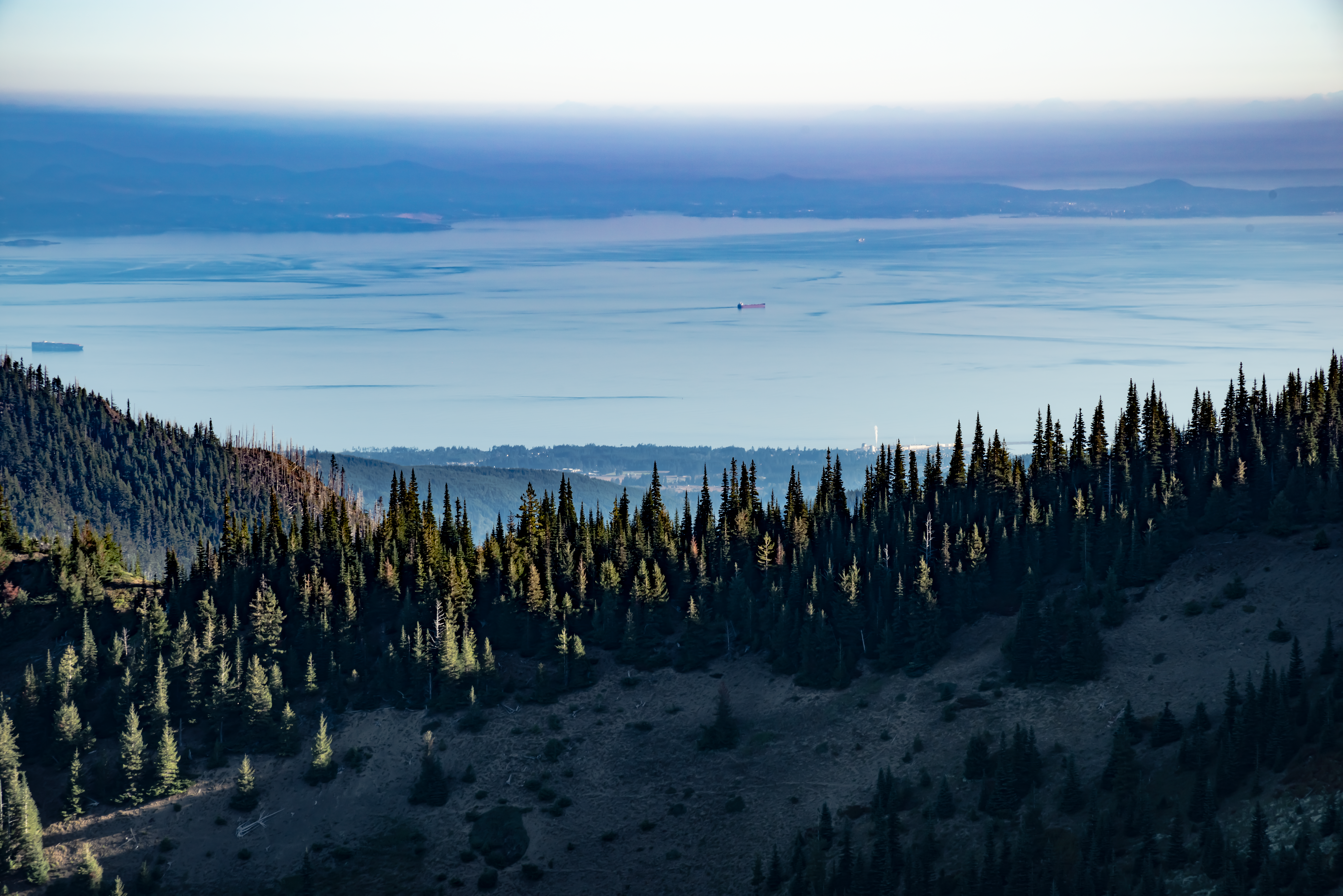
We hiked a short distance to the Overlook instantly rewarded with views of the Strait of Juan de Fuca and Port Angeles. That’s Canada on the other side. Moving on, we followed the Cirque Rim Trail where once a glacier receded creating a circular edge into the valley.
Next we connected to the High Ridge Trail and climbed to some spectacular views. Though there were few other hikers, we were not alone. On the way, up we heard a strange sound that we learned was the call of an Olympic Marmot. We were able to spot him perched on a rock down the slope in the distance. The most common marmot noise is a chirp, which is a brief blast of piercing sound similar to a bird chirping. Frightened marmots increase the speed of these chirps into a series called a trill. When extremely scared, a marmot call can even sound like a human scream. The closer the danger, the shorter the call. Presumably, this is because the animal has less time to make noise and wants to beat a hasty retreat. There’s even a marmot sound called a chuck, which has led to yet another nickname for the animals, “rockchuck”. There were also plenty of chipmunks scampering around and a plethora of birds.
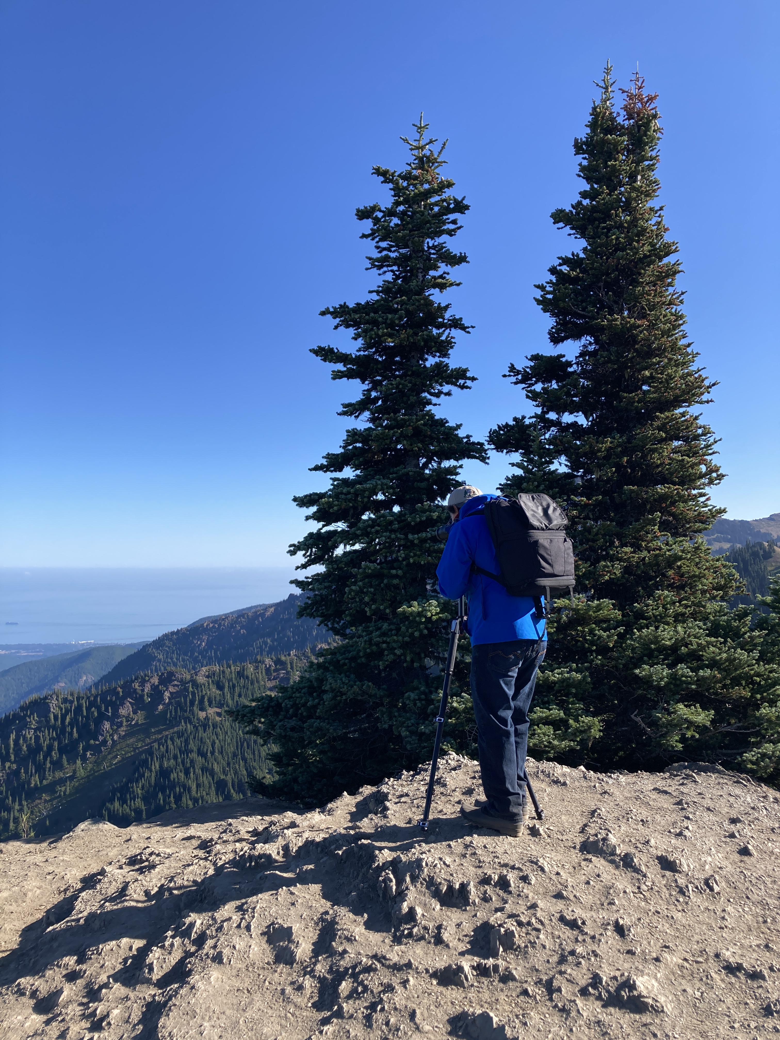
Intersecting with High Ridge is a dead end spur trail that leads to Sunrise Point where we could see far and wide in every direction. Here we encountered a family of grouse.
Completing the High Ridge loop takes you back to the visitor center which you can see here in the distance along with those majestic Olympic mountains.
As you can see, we had a great time out on the trail…
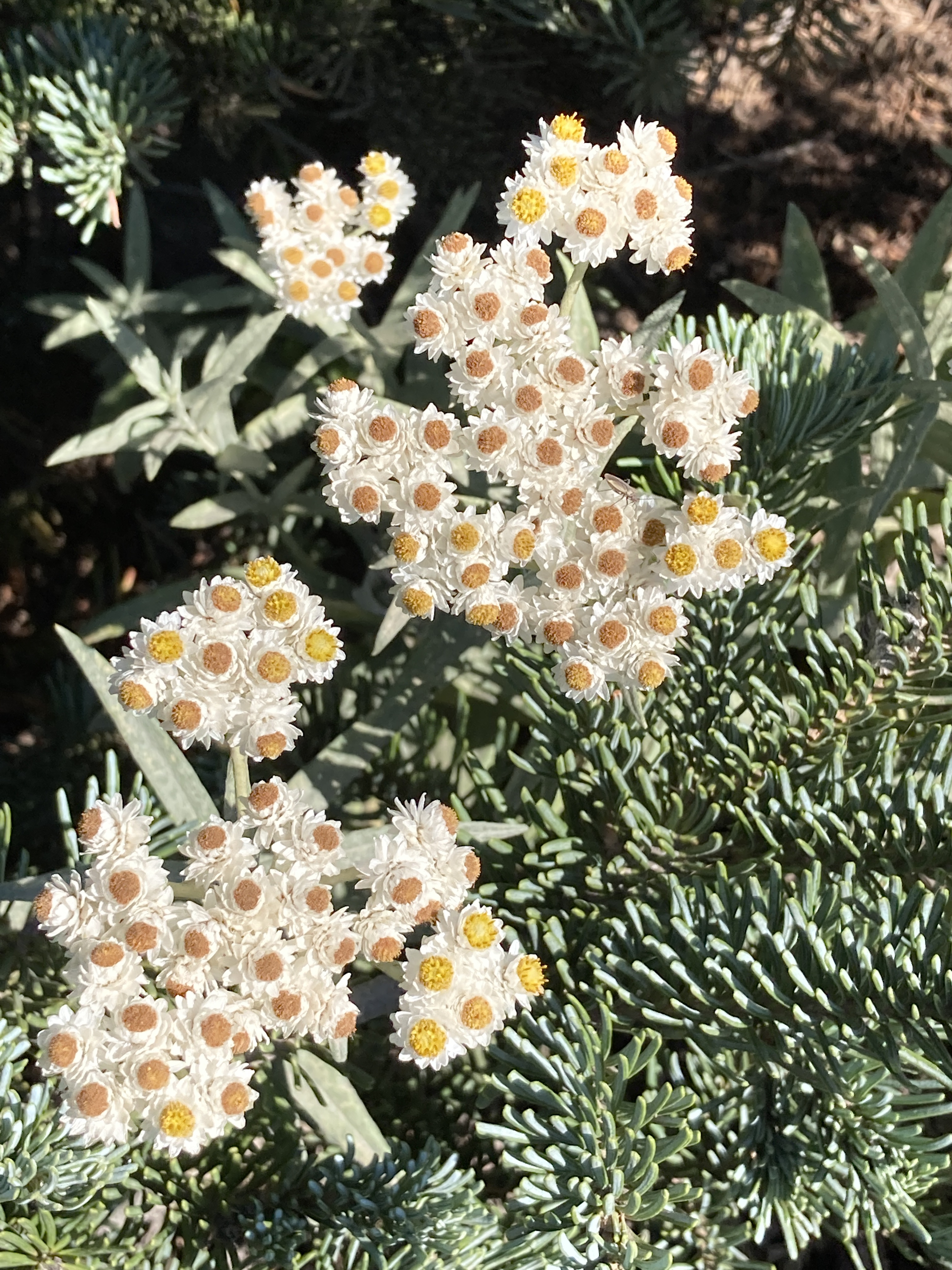
One thing to remember when you are hiking is to notice the small things. They can be just as impressive as the magnificent vistas.
Next up in our discovery of the ONP — Lake Crescent. Stay tuned!
Travel, photography, languages, and gourmet cooking are just a few of the interests we love to share. Here we focus on our adventures throughout France and beyond!